The Nile is the world's longest river, and its drainage basin encompasses roughly 10% of the African continent. Heavy rains in the Ethiopian Highlands once flooded the Nile on a regular basis. These annual floods deposited fertile soil along the Nile's banks allowing the development of agriculture and permanent settlement of the region. Since little rain falls in Egypt (once you leave Alexandria and the Mediterranean Coast, rainfall averages less than one inch annually), the dependable-annual floods of the river are what made civilization possible in Egypt. There is evidence of foreign trade facilitated by the river going back 20,000 years. Even today - as in ancient days - the majority of the population lives, works and dies along the banks of the Nile.
Egypt's two largest cities, Cairo and Alexandria lie in the North, on the Nile River Delta. The ancient Egyptian capitol of Thebes, located in present day Luxor, was also along the Nile. Modern Luxor is on the east bank and Ancient Thebes and the tombs of the Valley of the Kings and Valley of the Queens is located on the west bank.
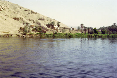
In spite of the river's size and importance, the source of the Nile was a mystery up until the 19th century when European settlers traced it's source back to Lake Victoria in Tanzania, though the streams that feed that lake originate as far away as Rwanda. The river has now been tamed with completion of the Aswan High Damn in the 50's and no longer floods its banks. It is still a stark and beautiful river and a major force in Egypt. We enjoyed a cruise up the Nile that took us from Luxor South to Aswan, with several stops along the way.
 |
 |
|
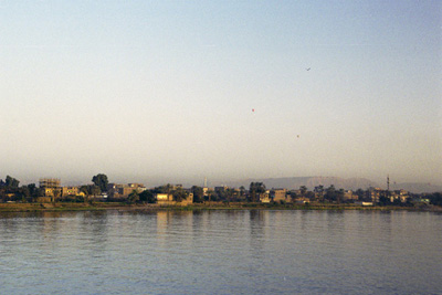
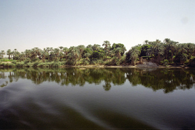
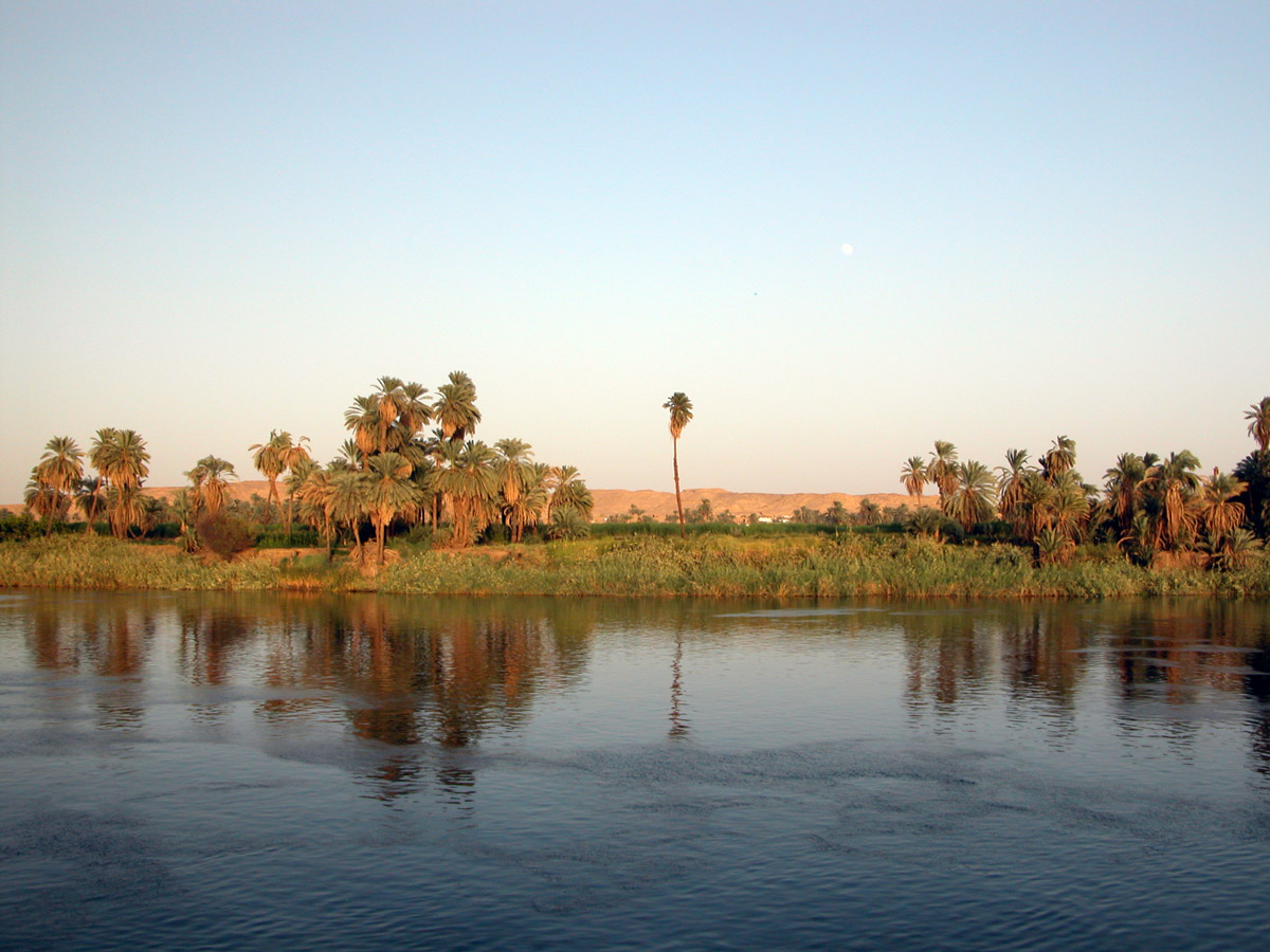
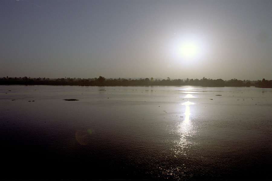
Above: Luxor, from the boat Above right: The Nile just outside of Luxor Right: Sunrise in Esna |
|
 |
 |
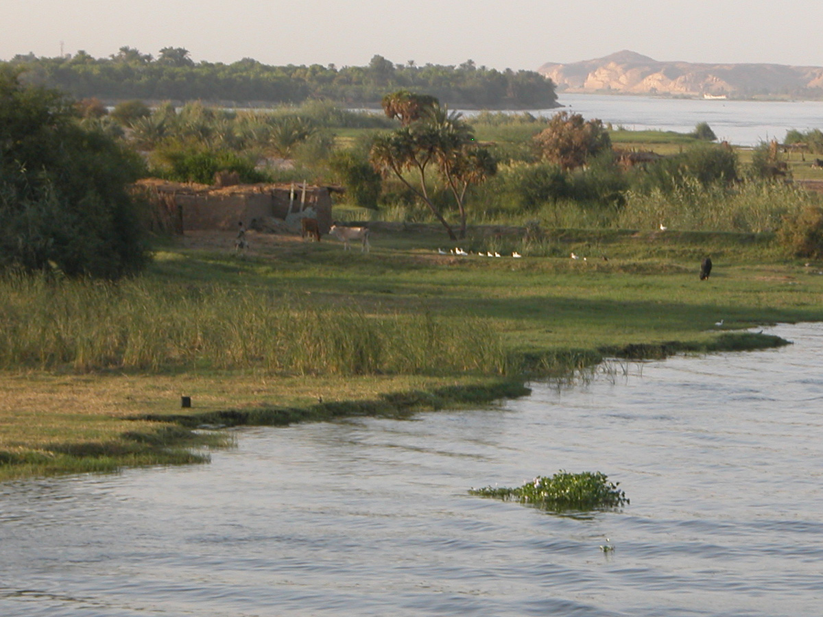 |
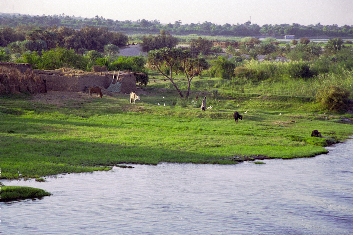
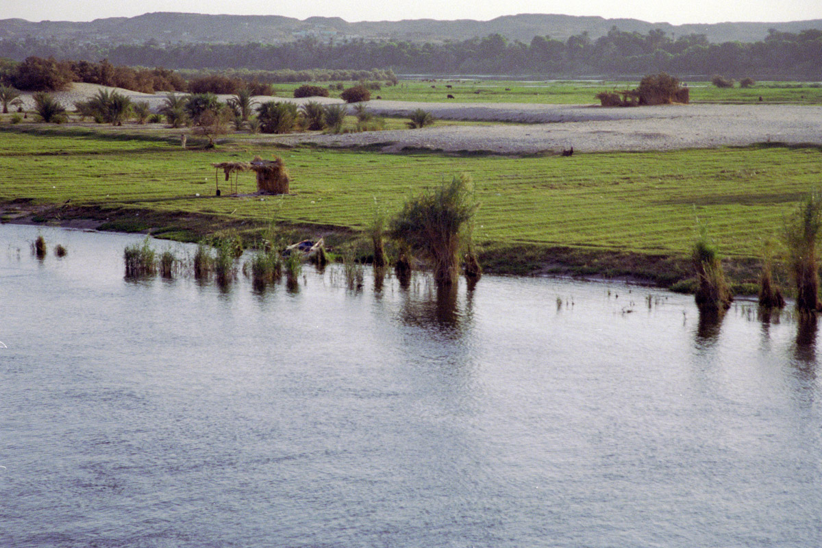
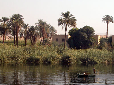
Farming along the banks of the Nile |
 |
 |
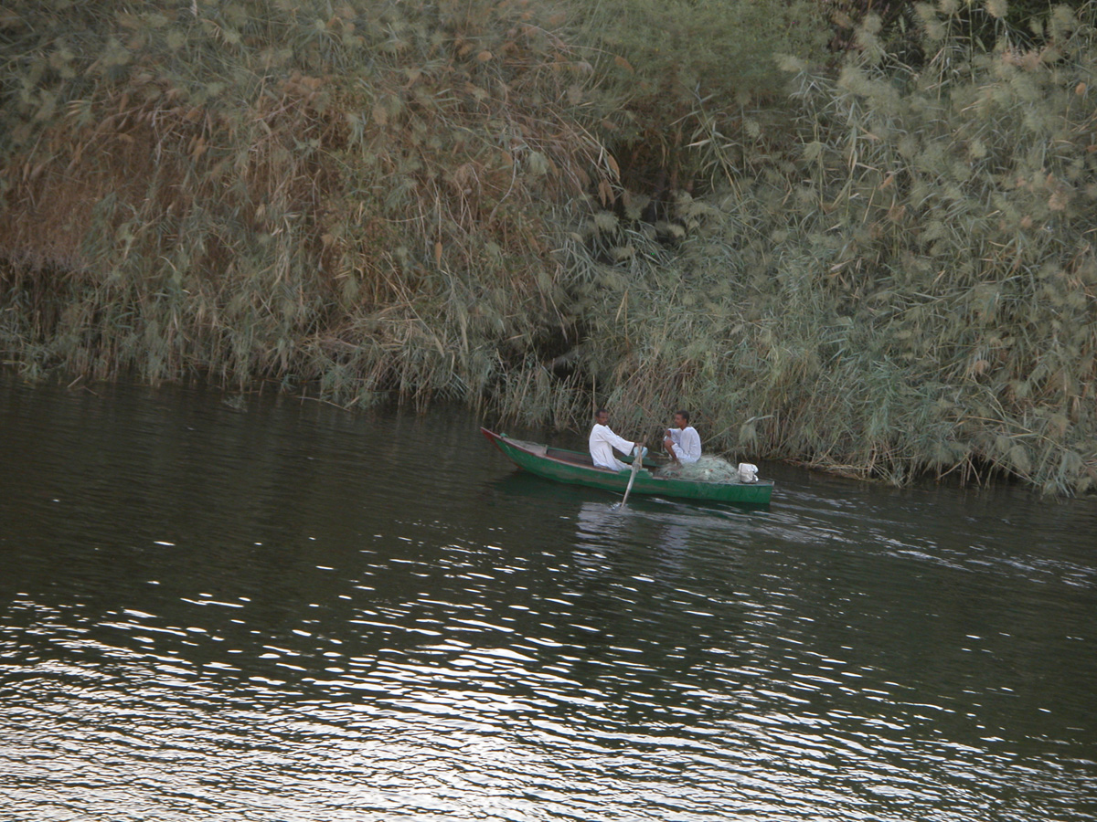
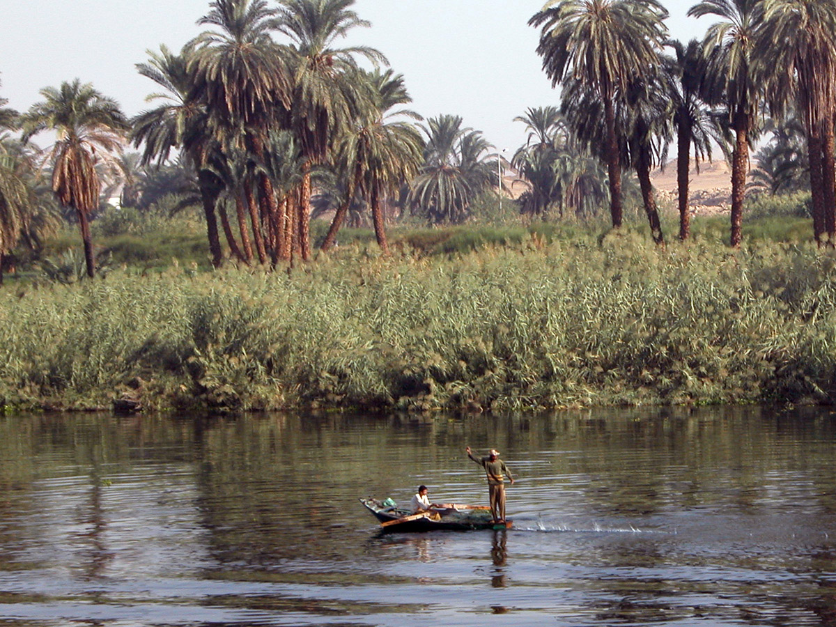
| Fishing the Nile | 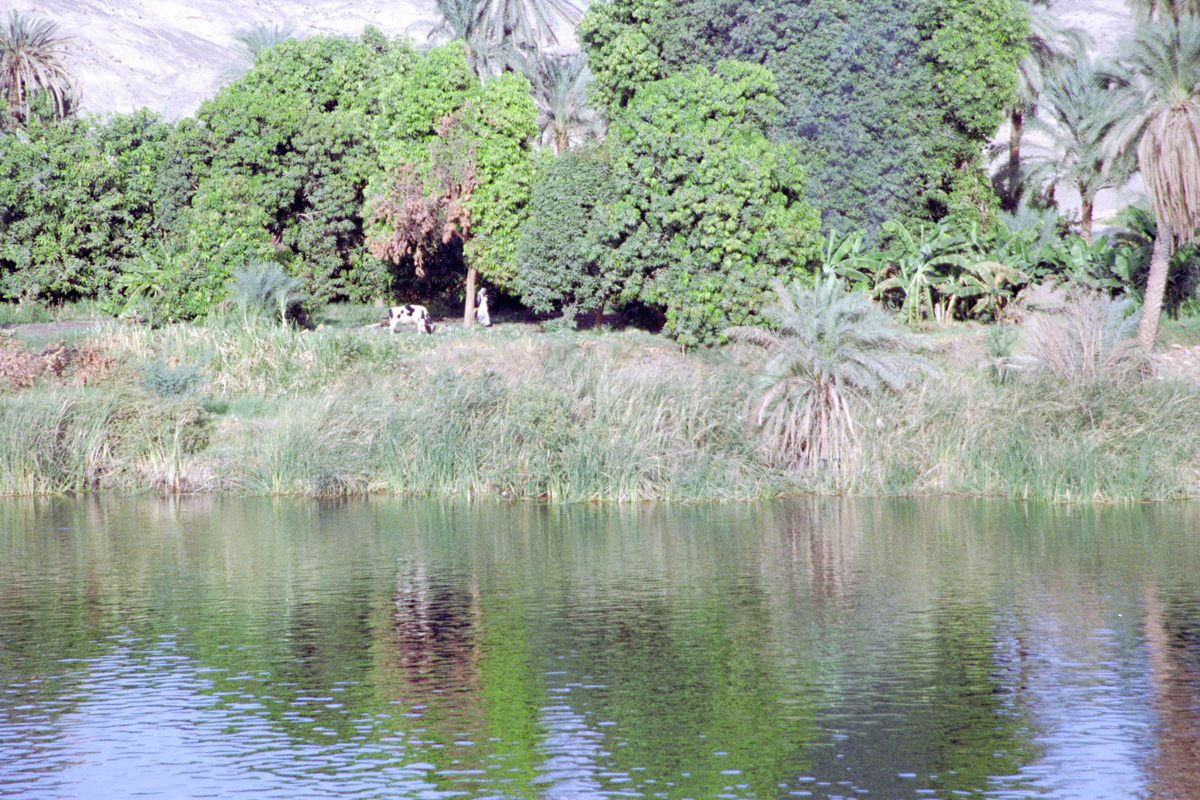 |
 |
 |
 |
 |
 |
|
 |
 |
 |
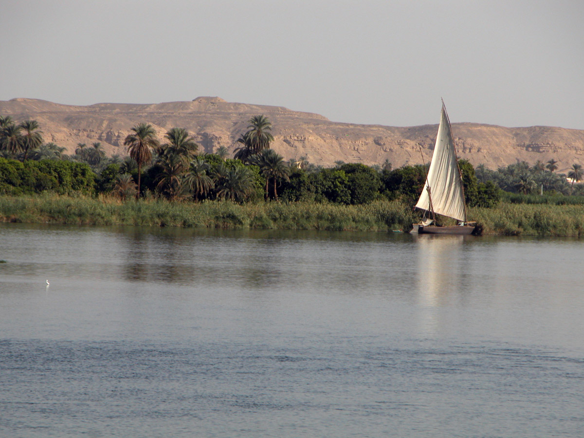
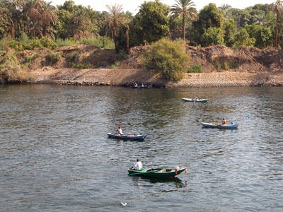
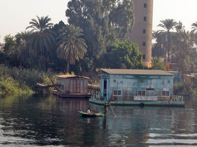
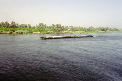
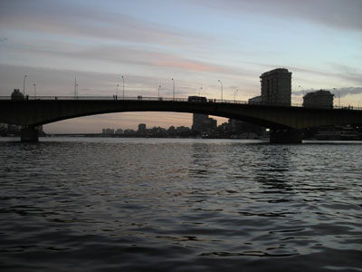
The Nile as a method of transportation. Below: Cairo, Located on the Nile River Delta, the river is still an important part of Egypt's capitol. |
 |
 |
All photos on this page are originals by & copyrighted by Daren Willden, unless otherwise stated. All rights reserved.